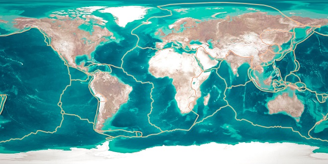
Although the planet earth seems to be solid, it is actually much more of a liquid. The very core of the earth is believed to be comprised of solid iron, measuring some 780 miles (1250 km) from the center to its edge. The next 3,000 miles (4800 km) out is all liquid. The first 1,380 miles (2200 km) are liquid iron and nickel, while the remaining 1,550–1,750 miles (2500–2800 km), varying in different locations, is a mixture of molten and solid rocks known as the mantel. The outermost 5–40 miles (8 to 65 km) is the solid crust on which we stand and feel so secure. In fact, the molten iron ore and rock beneath us are in constant motion, churning upwards in the same way the bubbles boil from the bottom of a boiling pot of water. This churning motion causes the hard crust to crack and shake (earthquakes).
Factors in Weather and Climate
Weather refers to the day-to-day changes in the atmosphere of a place. Climate, on the other hand, refers to the annual pattern of atmospheric conditions in a place. Climate classifications are primarily based on (1) the seasonal variations in temperature and (2) the annual rainfall amount and seasonality. The major factors that influence climate are (1) latitude, (2) continentality, (3) air masses and (4) surface physiography. Because the earth moves around the sun on a tilted axis, the northern hemisphere is closest to the sun in June and farthest from the sun in December. These extremes become most pronounced as one gets closer to the poles
Continentality and Maritime Climates
Land (rocks and dirt) heats and cools faster than does water. Climatically, this means that the large continents of the world are warmer than the oceans in their summer months and colder than the oceans in their winter months. This further contributes to the intense winter cold experienced by the interior of the continents.
Conversely, summer temperatures are as much as 50 °F hotter in the interior of the continent than in coastal areas. Along the edges of most continents, the moderating influence of the oceans keeps summer temperatures down and winter temperatures relatively high. The onshore ocean winds hitting San Francisco, for example, give it almost the same temperature all year round. The maritime climate of San Francisco is the opposite of the continentality found in Denver in the interior of North America.
High and Low-Pressure Air Masses
Large movements of air over the surface of the earth generally have either rising or falling patterns. Air that is rising from the earth’s surface forms low-pressure air masses. When the rising air falls, it forms a high-pressure air mass (because the air is pushing down on the earth’s surface). Rings of predominantly high and low pressure encircle the earth.
Low pressure on the equator brings year-round rainfall, creating tropical rain forests. Descending dry air creates high-pressure north and south of the equator. These are where the large deserts of the world are located. Humid low-pressure systems ring the globe north of here, creating cool weather rain forests on the coasts of Washington and British Columbia in North America and the British Isles in Europe. Finally, a dry high-pressure system is situated over the North and South Poles, turning the north coast of Alaska and central Antarctica into a frozen desert